Search Results
75 results found for:
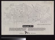
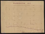
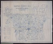
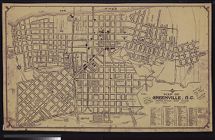
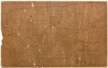
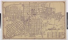
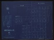
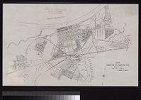
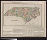
Washington (N.C.)—History
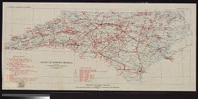
View all North Carolina Maps material.
Currently viewing items 1 - 40
| Next |

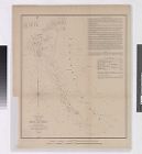
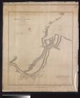
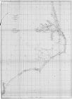

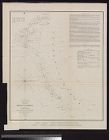
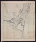
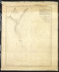
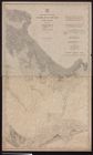
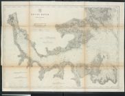
![Sketch of Beaufort Harbor, North Carolina from a hydrographic reconnoissance by the party of J.N. Maffitt [and] A.D. Bache, Superintendent.](https://digital.lib.ecu.edu/encore\ncgre000\00000011\00010452\00010452.jpg)


Currently viewing items 1 - 40
| Next |